


Richardson's new chart of British Isles, 1912, vintage fold out map
Vintage Map by Richardson’s
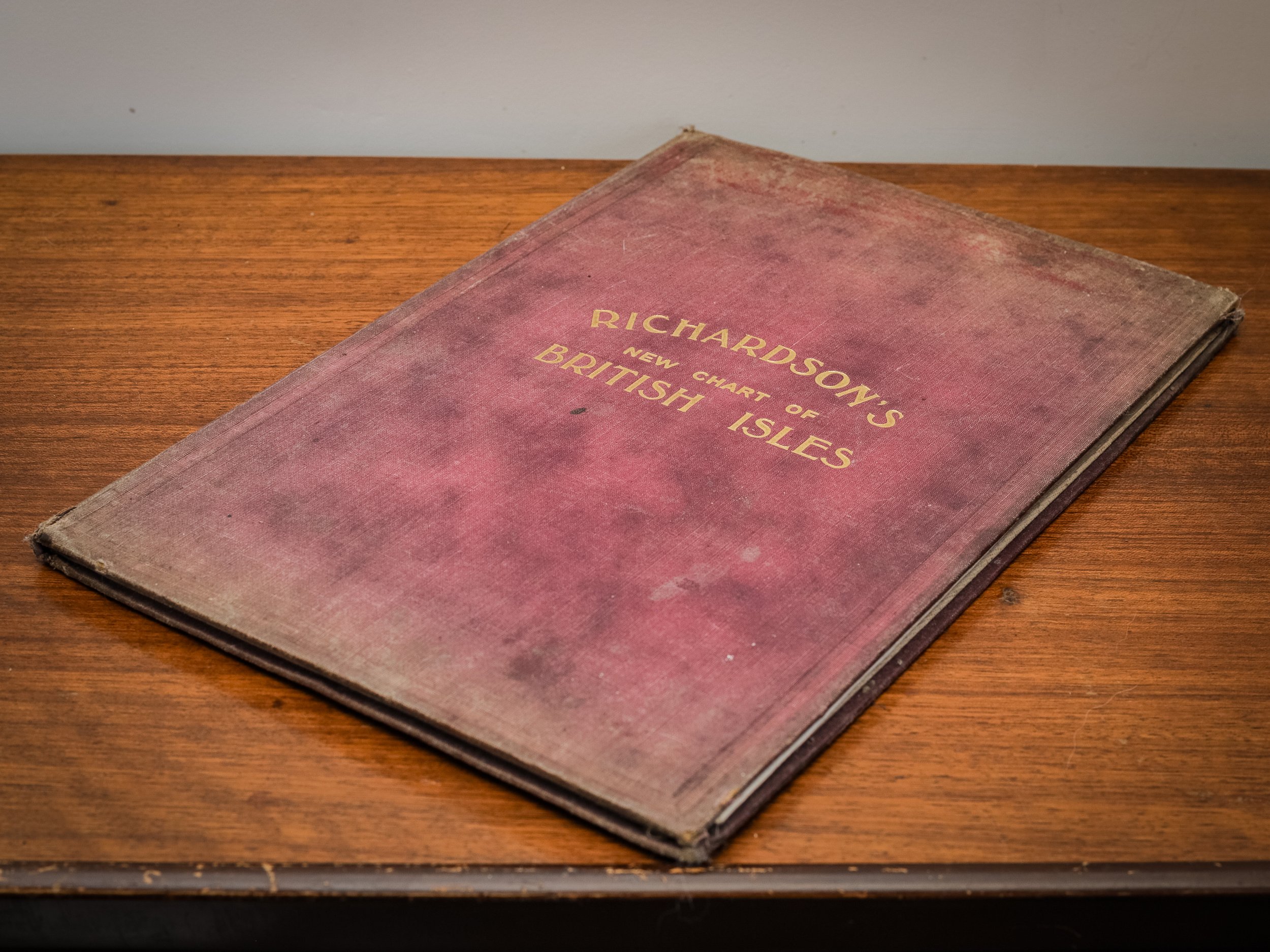
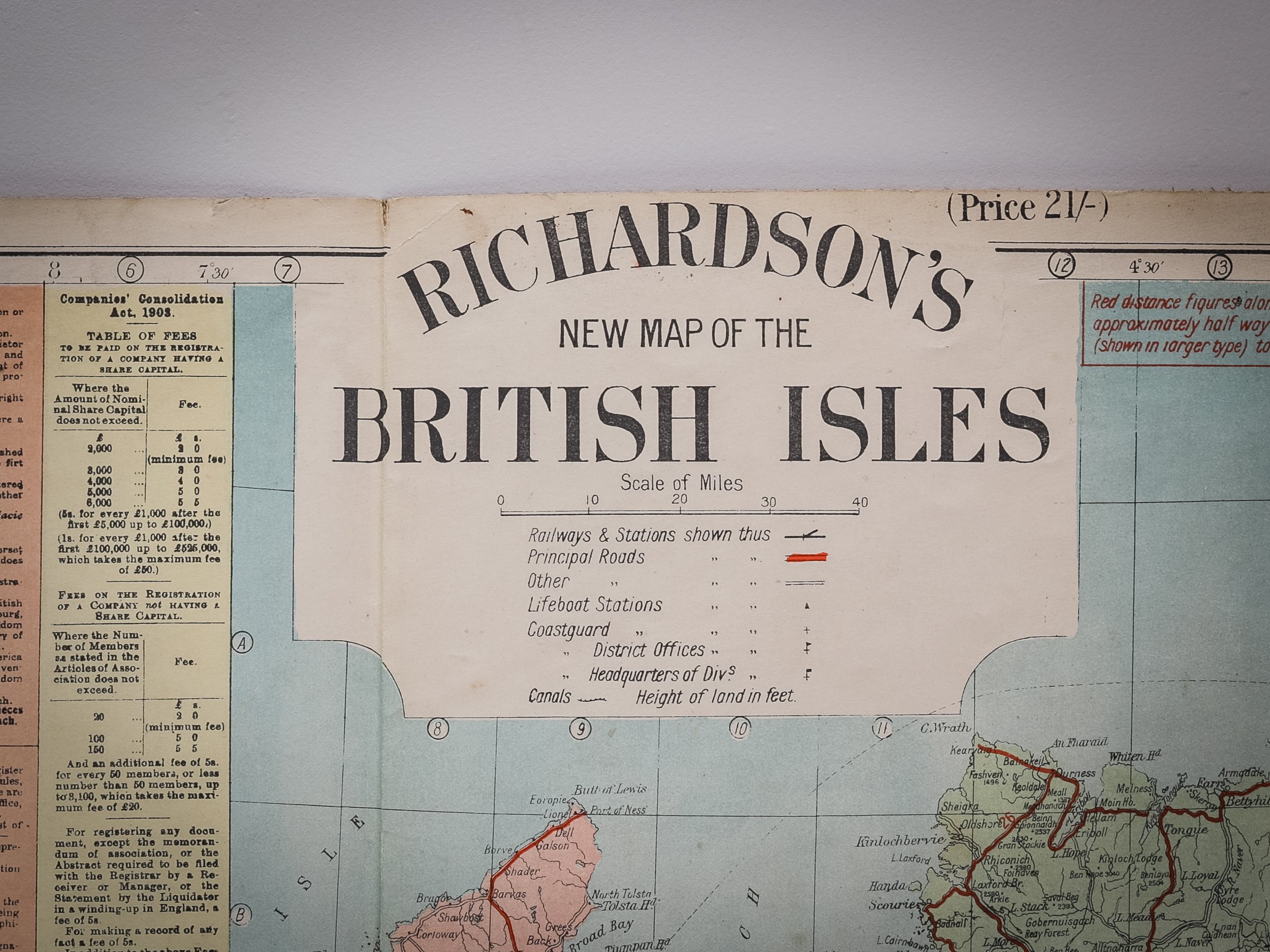
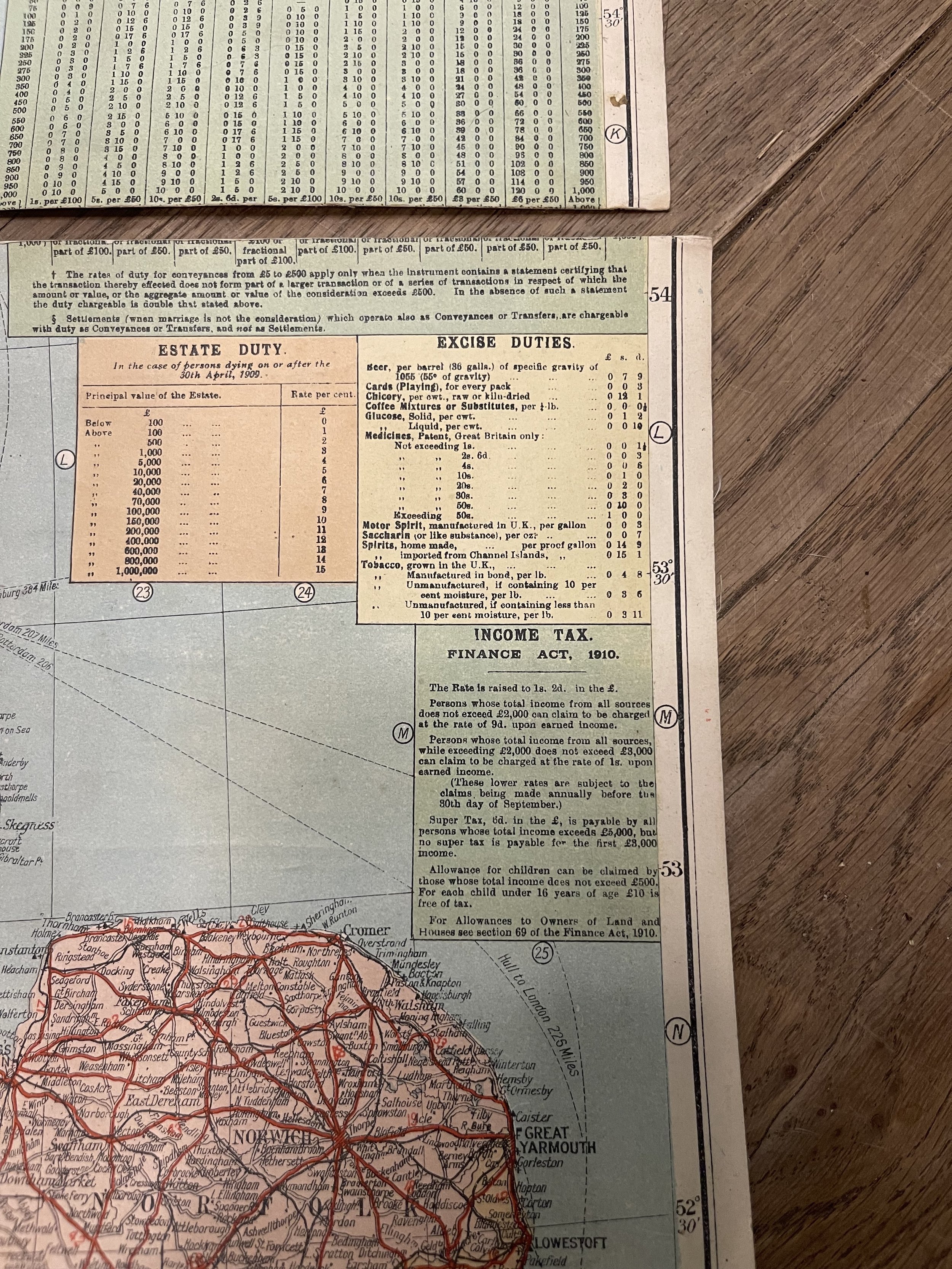
Step back in time with this stunning Richardson's New Chart of the British Isles. This vintage map showcases the intricate details of the British landscape, featuring railways, steamship routes, ports, rivers, canals, main roads, and rainfall data. Additionally, it provides insights into Navy and Army operations, revenue, expenditure, customs, licences, taxes, shipping, and various occupations.
While no specific date is marked, it is believed to date back to around 1912. The map is a large folding piece, consisting of two sections for the North and South, each linen-backed and in full color, measuring approximately 98 x 62 cm.
Folded dimensions:
Height 12 9/16” (33 cm)
Width 8 1/2” (21.5 cm)
Depth 3/8” (1 cm)
Though it shows some signs of age, with tears along the folds and joints, and some fading and rubbing on the maroon cloth boards, it is still elegantly preserved as a 'Good' copy. Perfect for collectors and history enthusiasts alike, this map is a beautiful testament to a bygone era, both functional and decorative, ready to be displayed. Add a touch of history to your collection today!
Vintage Map by Richardson’s
Step back in time with this stunning Richardson's New Chart of the British Isles. This vintage map showcases the intricate details of the British landscape, featuring railways, steamship routes, ports, rivers, canals, main roads, and rainfall data. Additionally, it provides insights into Navy and Army operations, revenue, expenditure, customs, licences, taxes, shipping, and various occupations.
While no specific date is marked, it is believed to date back to around 1912. The map is a large folding piece, consisting of two sections for the North and South, each linen-backed and in full color, measuring approximately 98 x 62 cm.
Folded dimensions:
Height 12 9/16” (33 cm)
Width 8 1/2” (21.5 cm)
Depth 3/8” (1 cm)
Though it shows some signs of age, with tears along the folds and joints, and some fading and rubbing on the maroon cloth boards, it is still elegantly preserved as a 'Good' copy. Perfect for collectors and history enthusiasts alike, this map is a beautiful testament to a bygone era, both functional and decorative, ready to be displayed. Add a touch of history to your collection today!
The details given are to the best of our knowledge, Approx. weight 0.5KG, postage charges will reflect this weight. If you need alternative postage arrangements or wish to arrange for collection, please get in touch with us. Each piece will be carefully wrapped and packed in a durable cardboard box for maximum protection. We strive to use recycled packaging whenever possible to minimize our environmental impact, so your order might arrive in a repurposed Amazon or cat food box. For international purchases other than those specified, please contact us to discuss shipping options.